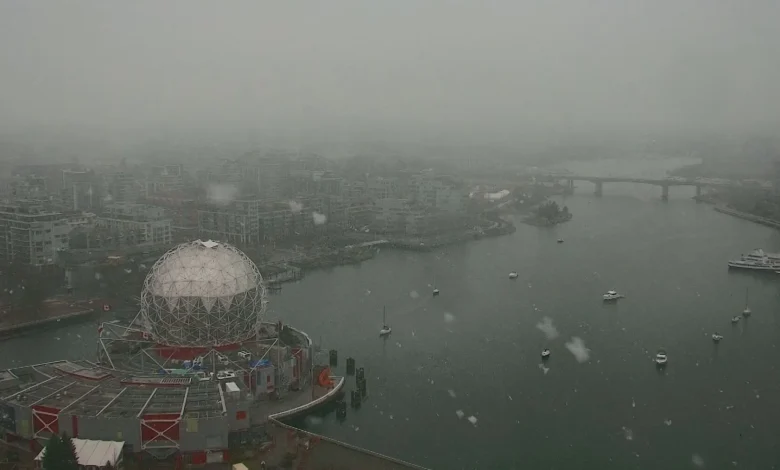
h Strong winds and heavy alpine snow are expected to create dangerous travel conditions across British Columbia late Wednesday into Thursday (ET) as a potent low-pressure system moves onshore. Warnings and wind alerts span extreme southern Vancouver Island, the eastern Fraser Valley and multiple interior passes where blizzard conditions and whiteouts are possible. Officials are urging drivers to avoid non-essential travel as gusts and heavy mountain snowfall threaten highways and local infrastructure.
H Immediate reactions
Environment and Climate Change Canada (ECCC) issued wind warnings for the eastern Fraser Valley and extreme southern Vancouver Island, noting the potential for damaging gusts. “Local utility outages are possible, ” ECCC said, adding that “damage to roofs, fences, branches or soft shelters is possible. Parks and forests will likely sustain some damage. “
Terri Lang, Environment Canada meteorologist, highlighted the persistence of cold air and the risk that low-elevation flurries may return later in the week. “There’s one more weather system coming through Wednesday night into Thursday, so there’s a possibility with that, just because we’re not seeing any warm-up of the atmosphere, so the snow levels are staying quite low, ” Lang said.
Danger on the passes
Forecasters are warning of heavy alpine snowfall through Thursday morning that will make highway passes hazardous. The Coquihalla could see 20–40 cm of snow through Thursday while Allison Pass could see 20–30 cm; other Interior mountain passes may see a widespread 10–20 cm. h Whiteouts and blizzard conditions are possible east of the Lower Mainland as strong winds aloft mix down to the surface and combine with heavy snowfall.
The low-pressure system is expected to cross over Vancouver Island and lift into the Interior Wednesday night (ET), with strong winds aloft able to produce damaging surface gusts. Travellers planning to use highway passes have been advised to consider postponing trips and to check highway conditions before heading out if travel is essential.
What’s next
Snow is forecast to ease across higher terrain by late Friday (ET), but forecasters warn another weak trough may set up low-elevation snow Thursday evening into the overnight, with steady precipitation potentially bringing wet snow down to near 100 metres in some areas. Regions inland, including parts of the Fraser Valley and southern Vancouver Island at 100–200 metres elevation, can expect localized snowfall accumulation as conditions evolve.
Officials emphasize adjusting to winter driving behaviour, using winter tires and chains in the mountains, and preparing for possible utility impacts. Monitoring official updates and travel advisories is advised as crews respond to wind damage and snowfall overnight and into Thursday; h further changes to warnings and travel conditions are likely as the system progresses and forecasts are updated.